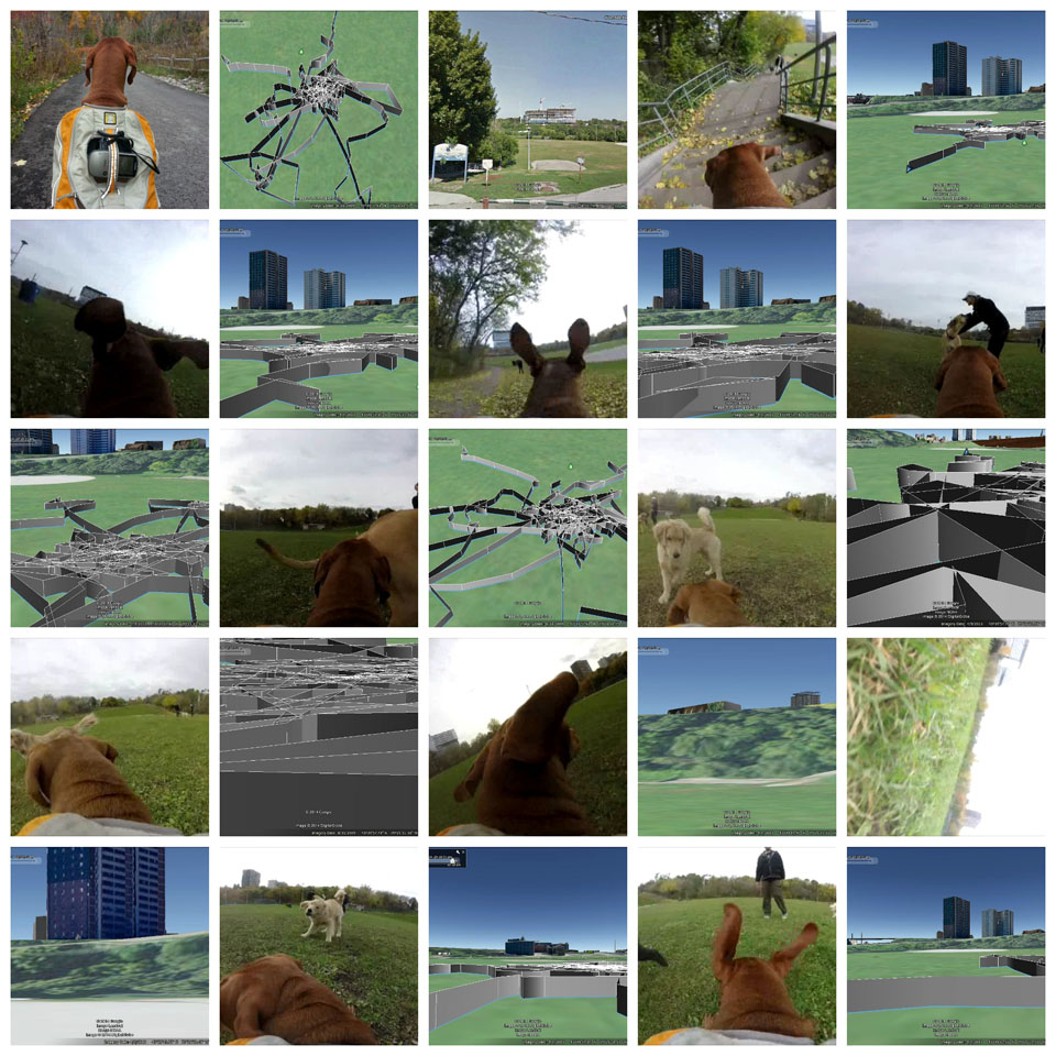
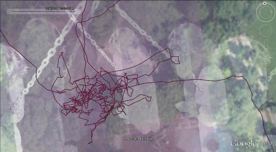
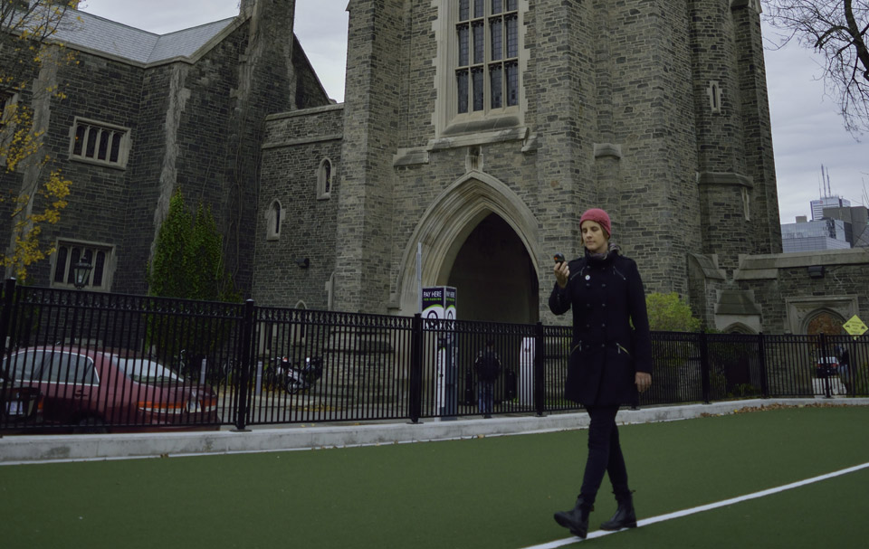
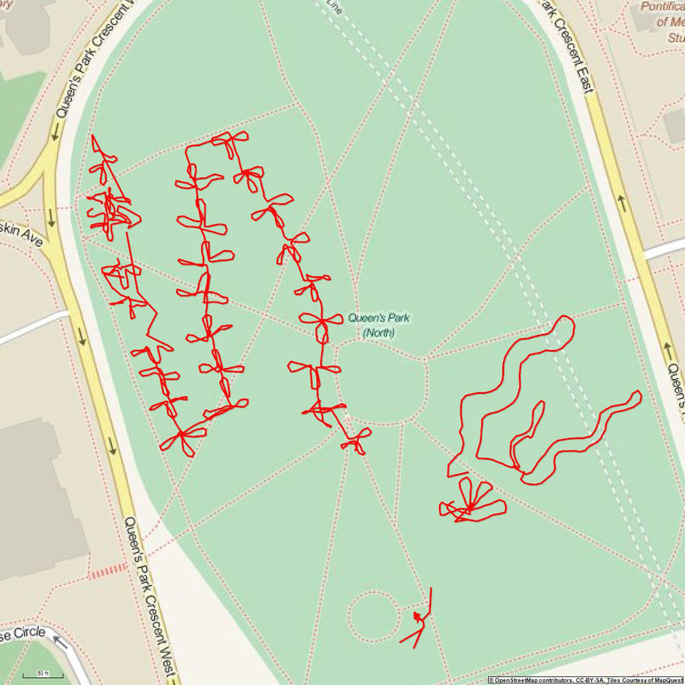
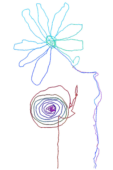
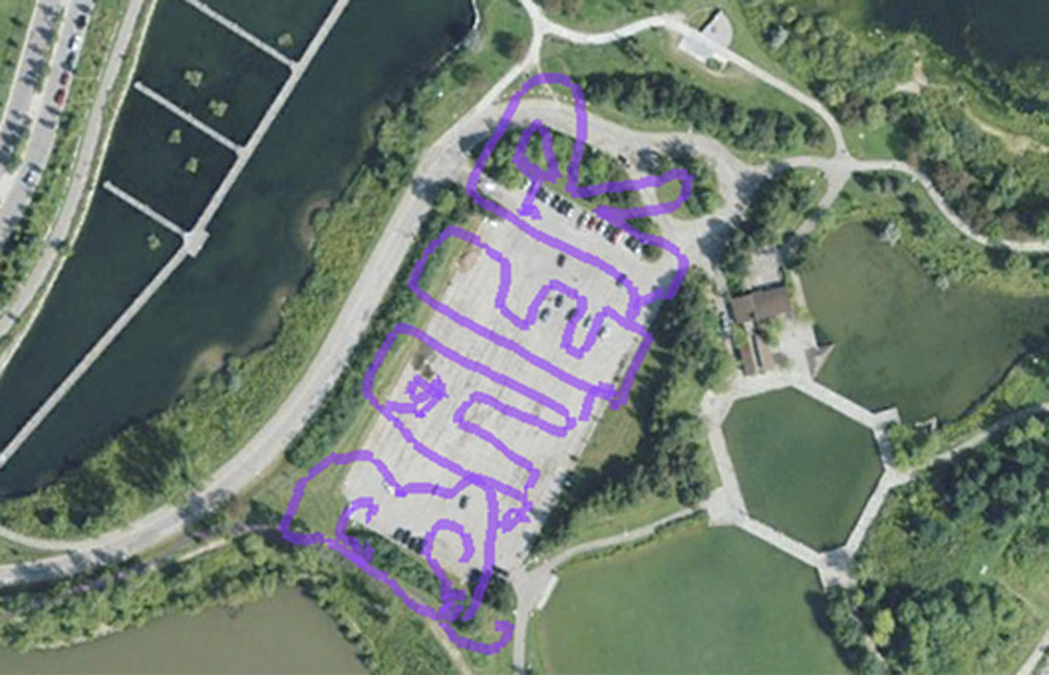
In November 2014, artist Jeremy Wood came to the University of Toronto and offered a GPS cartography and drawing workshop.
Participants spent three days exploring the embodied environment through GPS mapping and drawing.
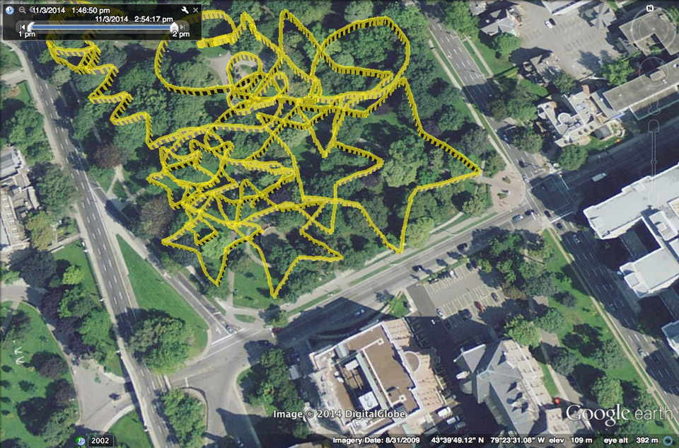
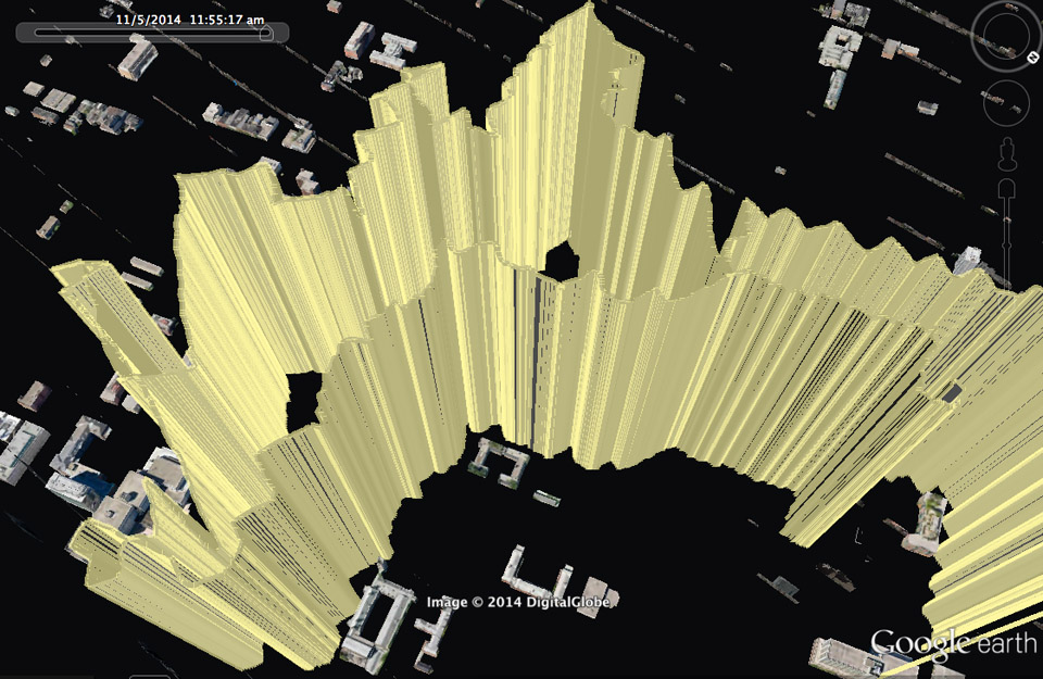
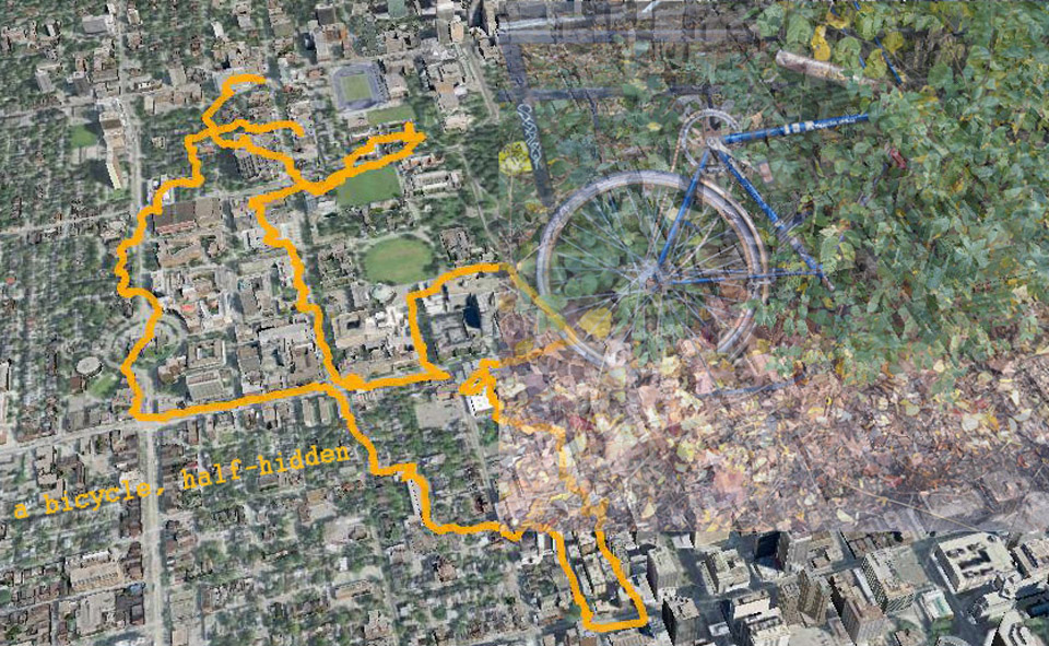
Several participants attempted to draw specific images using the technology, others mapped walking and biking commutes in the city, and one group used “propositions” that gave them instructions on how to navigate: for example, one participant was instructed to only walk in diagonal lines and created a “zig zag” map.